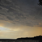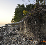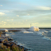


The most obvious impact of the Department of Water Stewardship on the lives of Manitobans is during the annual spring season of flood forecasting. The Department is responsible for coordinating flood forecasting and response for the province. Under this responsibility the department produces regular reports detailing flood potentials for Lake Winnipeg and wave uprush warnings during high wind events.
Department of Water Stewardship

Flood forecasting generally start in February of each year. Flood updates are then issued daily, weekly or intermittently depending on the situation until the flood threat dissipates.
Manitoba Water Stewardship monitors and reports on lake levels throughout Manitoba. A network of gauges is operated to supplement the federal network run by Water Survey of Canada. From this information water level reports and warnings are developed
The maps linked below illustrate how a water level of 717 with a 60 km/hour wind sustained for 12 hours may affect various areas.


